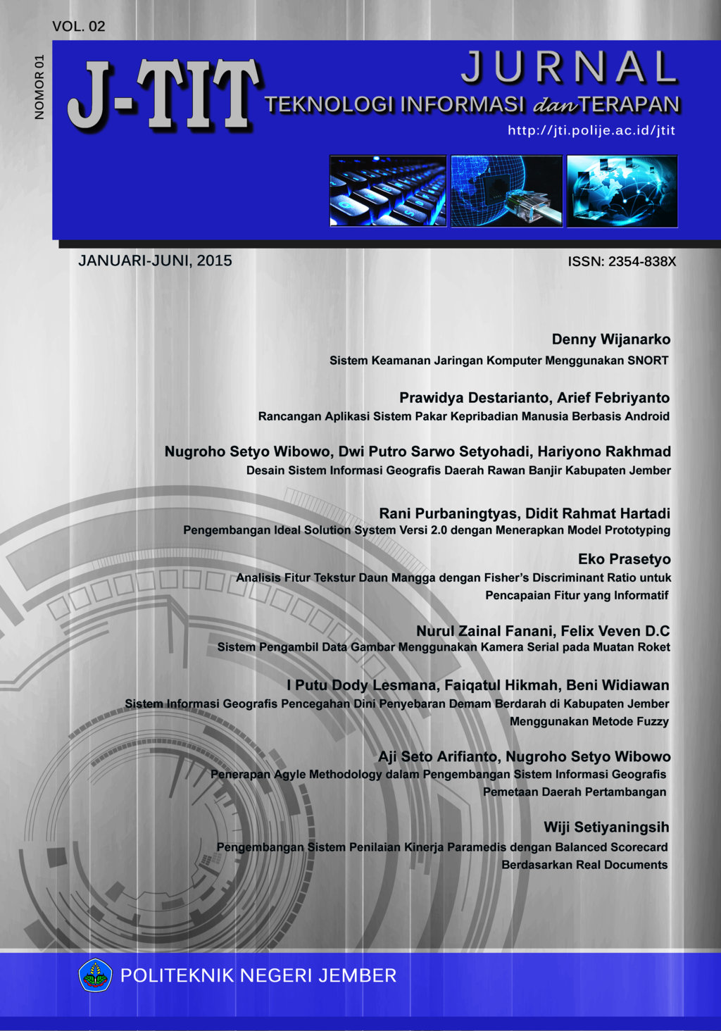
SISTEM INFORMASI GEOGRAFIS PENCEGAHAN DINI PENYEBARAN DEMAM BERDARAH DI KABUPATEN JEMBER MENGGUNAKAN METODE FUZZY
Abstract
Dengue Hemorrhagic Fever (DHF) is a contagious disease that is still a public health problem. Based on the data on the number of dengue cases from 2012 to 2014, almost evenly spread of dengue fever in the district of Jember with dengue incidence rate tends to increase during the period of observation. Therefore we need a way to predict the potential spread of dengue fever in the district of Jember so it can be done early prevention. Factors - factors that affect the spread of dengue disease is rainfall (CH), the number of days of rain (HH), larva free number (ABJ), and the house index (HI) that influence vector breeding dengue disease. In this study developed a Geographic Information System using Fuzzy method to predict the spread of dengue fever by using parameters rainfall, number of rainy days, larva-free numbers, and house index in Jember. From the results of testing the potential for the spread of dengue in 31 districts of Jember district during the month of February 2014 produced 24 districts have the same comparison between the potential spread and the number of dengue cases, while 7 other districts do not correspond to the potential spread of dengue obtained accuracy of 77%.
The Authors submitting a manuscript do so on the understanding that if accepted for publication, copyright of the article shall be assigned to Jurnal Teknologi Informasi dan Terapan (J-TIT) and Department of Information Technology, Politeknik Negeri Jember as publisher of the journal. Copyright encompasses rights to reproduce and deliver the article in all form and media, including reprints, photographs, microfilms, and any other similar reproductions, as well as translations. Authors should sign a copyright transfer agreement when they have approved the final proofs sent by Jurnal Teknologi Informasi dan Terapan (J-TIT) prior to the publication. The copyright transfer agreement can be download here .
Jurnal Teknologi Informasi dan Terapan (J-TIT) and Department of Information Technology, Politeknik Negeri Jember and the Editors make every effort to ensure that no wrong or misleading data, opinions or statements be published in the journal. In any way, the contents of the articles and advertisements published in Jurnal Teknologi Informasi dan Terapan (J-TIT) are the sole responsibility of their respective authors and advertisers.
Users of this website will be licensed to use materials from this website following the Creative Commons Attribution 4.0 International License. No fees charged. Please use the materials accordingly.

This work is licensed under a Creative Commons Attribution-Share A like 4.0 International License
You are free to:
- Share — copy and redistribute the material in any medium or format
- Adapt — remix, transform, and build upon the material for any purpose, even commercially.
- The licensor cannot revoke these freedoms as long as you follow the license terms.


